Latest Minutes:
11 – 05 – 2026 – Annual Parish Meeting
02 – 03 – 2026 – Parish Council Minutes
Latest Agenda:
06 – 06 – 2026 – Council Agenda
Finance:
Public Rights Notes – accounts Year Ending 31 March 2025
Our upcoming meetings:
Council Meeting
The meeting is held at Beaulieu Abbey Church Hall.
Council Meeting
The meeting is held at Beaulieu Abbey Church Hall.
Financial Documents 2025/2026
Financial Documents 2024/2025
Our latest news
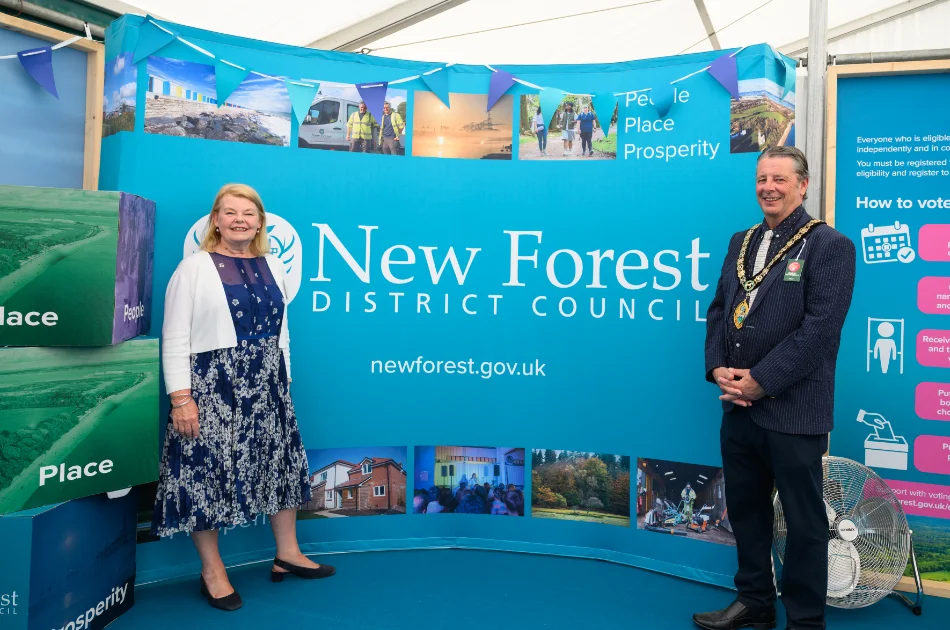
Visitors join NFDC to learn more about local government changes at New Forest and Hampshire County Show

Cabinet to review approach to Local Plan at next meeting.

New Forest District Council reintroduce anti-littering campaign on A35

Earlier waste and recycling collections this week due to extreme heat
Extension to temporary closure of Denny Lodge Bridleways 1, 8 and 15
For details, please follow this link to the PDF

It is located on the eastern side of the New Forest, Hampshire. Its boundaries lie entirely within the New Forest National Park.
Most of its terrain comprises ‘open forest’ – heathland, marshes and bogs as well as deciduous and pine forests.
Despite the Parish’s large geographical area, its population is low (c. 350), making it one of the least densely populated regions in southern England.
The economy of the area reflects its rural nature. Businesses within the parish consist of farms, horticultural and equestrian concerns, as well as businesses related to tourism.
This site contains information about the parish of Denny Lodge, matters relating to the Parish Council, general information and links to relevant websites.